

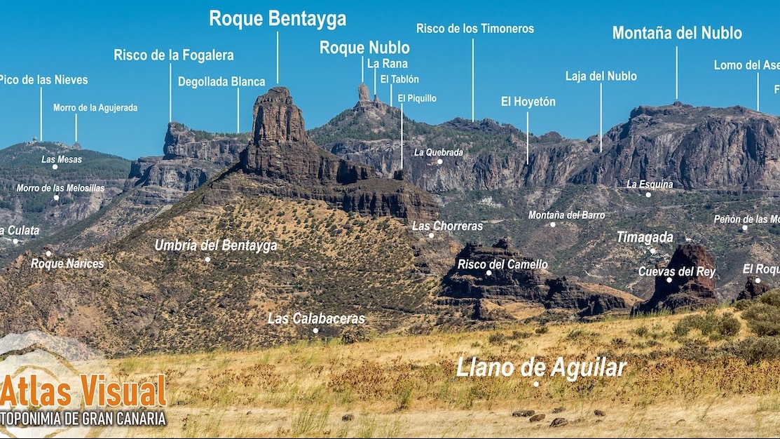
The project consists of a report of georeferenced digital photographs associated with each place name in order to clarify its identity.
Starting today, the Fedac website makes the first phase of an ambitious project available to all citizens: a visual Atlas of the ethnographic toponymy of the rural area of Gran Canaria, which is nothing more than a report, the most extensive and varied. possible, which incorporates high-quality georeferenced digital photographs associated with each toponym collected in the commonly used maps.
The main objective is, of course, to clarify the identity of each of them, but it also fulfills others - as explained by the Minister of Industry, Commerce and Crafts, Minerva Alonso, during the presentation - such as promoting general interest in this heritage, since that presents these traditional places in a visual and attractive way, through images and very accessible cartography; At the same time, it serves to promote the practice of activities that are respectful of nature - since it is a valuable tool for athletes who enter these areas - and finally, it offers visual information for other academic and professional work.
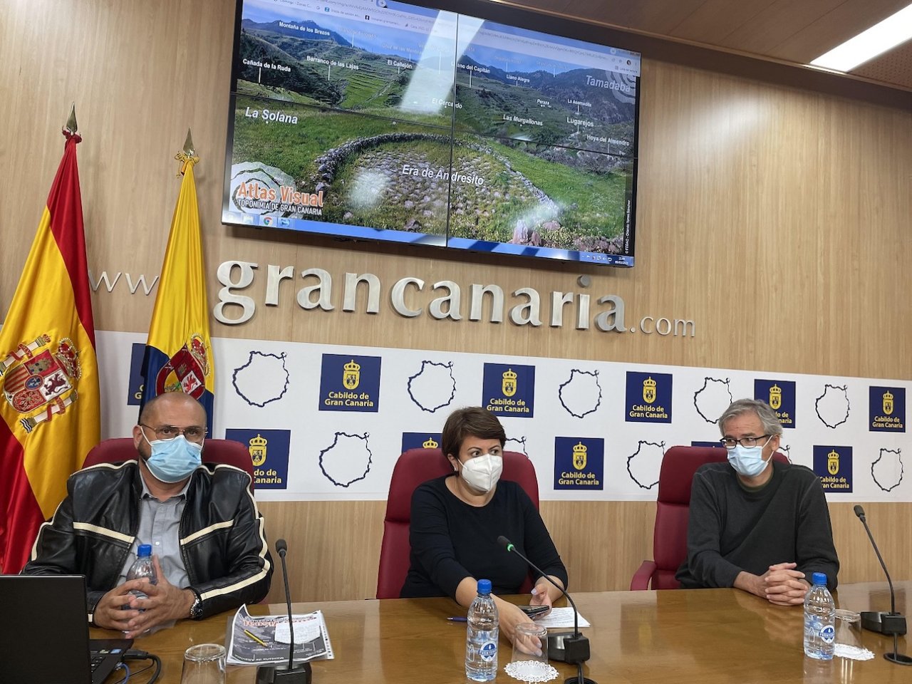
Visual Atlas link on the internet
Francisco Mireles, Fedac technician, explained that, although the geographical framework of the work was of an island nature, given the size of the census of places already cartographically registered - which exceeds 2.000 in the Official Cartography of the Cabildo - it has been limited this first phase to the Caldera de Tejeda, a region of the island's interior that brings together the two peak municipalities par excellence of the Island: Artenara and Tejeda, and, given the recent declaration by UNESCO of the Cultural Landscape of Risco Caído and the Sacred Mountains of Gran Canaria, the highlights of the municipalities of Gáldar and Agaete have also been included.
The selection of place names was made based on their uniqueness, landscape, symbolic, social and ethnographic relevance, and trying to distribute the photographic records equitably in the selected geographical space, giving priority to those most linked to the traditional agricultural activities of the environment. rural, as Mireles stressed.
The results have been presented in digital format on the Fedac web portal through a link incorporated into the section of the Ethnographic Charter of Gran Canaria, as has been done with the three ethnographic routes added so far.
As for searches, they can be carried out in various ways: through direct access to the cloud of images that will be displayed randomly, allowing the user to select the photo that most catches their attention; with an ordered and classified list alphabetically, by municipality and population center to which the toponym belongs; through a map where all the toponyms recorded for this project will appear, obviously associating the photo with the exact location of the place; or through keywords that will be assigned to each " image-toponym" as significant attributes that will characterize each record, allowing them to be systematically classified in an external database associated with the work.
Another way of capturing the location of the toponymy of the Region has been through wide panoramic views that represent on the photo itself the name of several places at the same time, thus facilitating the relationship of proximity between them and the orientation of the observer. from image. To do this, a wide series of natural viewpoints were selected from which the greatest number of places possible were covered, which were also represented on the main map of the Project to facilitate access to users.
Finally, it should be noted that, in the registration of each place name, apart from the photo, the exact location and the main attributes that allow them to be classified methodically, the meaning of each of them is briefly described, logically based on the publications edited so far.
Link to the Visual Atlas on the internet:
https://cartaetnograficagc.org/atlas-visual-de-la-toponimina-de-gran-canaria/